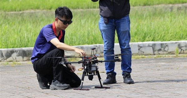
The ability for drones to perform missions even after losing GPS signals has been realized in Taiwan. AIDC announced today the results of its 'AIxVNAV Drone Visual Navigation and Positioning System' flight demonstration. Mounted on a drone, the system integrates 3D satellite maps with AI, allowing for autonomous navigation and mission completion in GPS-denied environments. AIDC showcased the technology with a live flight demonstration at the Asia UAV AI Innovation Application R&D Center in Chiayi on May 29. AIDC stated that typical drones rely on GPS signals and are susceptible to enemy electronic interference or spoofing, which can lead to navigation failure. To overcome this, AIDC leveraged its flight engineering experience, combined with software licensing from the US-based Vantor and their 'Accurate Target Positioning (ACE) technology,' to build a proprietary AIxVNAV system. AIDC noted that the system does not require expensive antennas or radar, using only low-cost cameras to navigate autonomously without GPS. AIDC Chairman Tsao Chin-ping stated that the system fully meets the military's requirements for 'low cost, high production, and anti-interference' in asymmetric warfare. It is dual-use and can be widely applied in coast guard operations, policing, disaster relief, land surveying, and infrastructure inspection. As a member of the 'Taiwan UAV Alliance,' AIDC hopes to promote this core technology to the supply chain to strengthen the technical depth of the 'non-red supply chain.' The flight demonstration, supported by Ziqiang Engineering Consultants, verified centimeter-level target positioning. AIDC hopes the government will adopt anti-GPS interference technology as standard equipment for drones.
FACT BOX
- Source: CNA (Central News Agency)
- Category: tech
- Organizations: Vantor