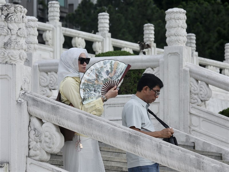
(Central News Agency reporter Huang Ciao-wen, Taipei 22nd) Weather expert Wu Derong stated that today, most areas will be sunny and hot, with southern Taiwan potentially reaching 38 degrees Celsius. Convection will develop in mountainous areas in the afternoon, extending to parts of the northeastern plains, so watch out for localized heavy rainfall. From tomorrow until the daytime on the 28th, it will be scorching like mid-summer, repeatedly setting new high temperatures for the year. Wu Derong noted in the "Xie Tian Ji Jiao Shi" column of the Meteorological Applications Promotion Foundation that the latest European model (ECMWF) simulations show that today, the stationary front is over the northern sea, with increased moisture and atmospheric instability near Taiwan. Convection will develop in mountainous areas in the afternoon, extending to parts of the northeastern plains, so be aware of localized heavy rainfall. Wu Derong pointed out that today, most areas will be sunny and hot, so pay attention to sun protection and heatstroke prevention. Temperatures are expected to be 23 to 36 degrees Celsius in the north, 24 to 35 degrees in the central region, 23 to 38 degrees in the south, and 23 to 35 degrees in the east. Wu Derong stated that the latest model simulations show that from tomorrow until the 28th, the stationary front will retreat northward, moisture will decrease, and the atmosphere will stabilize. There might be occasional localized brief showers in mountainous areas in the afternoon, but the scope will be very small and the probability low. Due to being within a warm air mass, the daytime will be "scorching like mid-summer," repeatedly setting new high temperatures for the year. Wu Derong indicated that the latest European model simulation has been further delayed, with the fourth wave of the plum rain season (May, June) front moving southward on the 29th and 30th, and the front weakening and moving away on the 31st. Wu Derong mentioned that the latest European and AI model simulations for 8 PM on the 31st show a tropical disturbance developing in the eastern sea of the Philippines at the end of the period. Their movements vary, causing different degrees of disruption to the frontal structure. As this is a late-stage simulation, various national models may still adjust, requiring continuous observation. (Editor: Guan Zhong-wei) 1150522
FACT BOX
- Source: CNA (Central News Agency)
- Category: 天氣預報