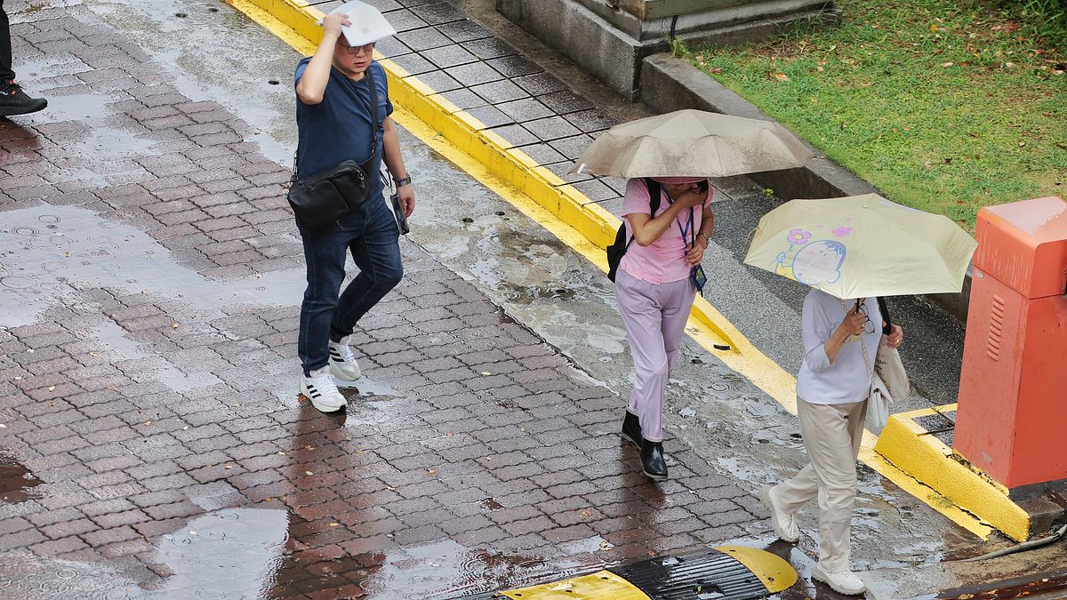
Taiwan has entered a period of atmospheric instability marked by high temperatures and afternoon thunderstorms. On the 18th, the Central Weather Administration issued a high-temperature advisory, warning that weather across Taiwan remains hot and humid. Orange heat warnings are in effect for New Taipei City, Taipei City, Changhua County, and Hualien County, indicating a high probability of consecutive days with temperatures reaching 36°C or higher. Yellow warnings are active in Keelung City and Taichung City, urging the public to take extra precautions against sun exposure and heatstroke.
Meteorological expert Wu De-rong noted that tropical cloud clusters in the South China Sea are fluctuating, bringing abundant southwest winds and moisture from the south to Taiwan. This has led to consecutive afternoon thunderstorms expected through Tuesday, July 21. Notably, international weather models suggest multiple tropical disturbances are brewing in the Northwest Pacific next week, requiring close monitoring for potential typhoon development.
Afternoon thunderstorms to last until this day: expert warns of 'multiple disturbances forming,' with six counties experiencing temperatures above 36°C
Wu De-rong, adjunct associate professor in the Department of Atmospheric Sciences at Central University and contributor to the Meteorological Applications Promotion Foundation’s "Leak the Heavens Classroom" column, provided today’s (18th) temperature forecasts: Northern Taiwan 24–37°C, Central Taiwan 23–36°C, Southern Taiwan 23–36°C, and Eastern Taiwan 23–37°C.
July 18–22 Weather: Strong Southwest Winds and Moisture, Beware Afternoon Downpours
According to the latest European ECMWF model simulations, although tropical cloud clusters in the South China Sea are fluctuating with poor development conditions, they play a crucial role in supplying southwest winds and moisture to areas near Taiwan. This increases atmospheric instability, leading to consecutive afternoon thunderstorms.
The abundant moisture and low-level southwest winds significantly elevate atmospheric instability across Taiwan. Southern regions may experience occasional localized brief rainfall. With the Pacific high-pressure system remaining weak, strong afternoon convection often develops in mountainous areas and may spread to some lowland regions. The public should remain alert for lightning, strong winds, and sudden heavy rainfall during afternoon hours. Outside of rainfall periods, weather remains generally hot across the island.
July 22–27 Weather: High Pressure Strengthens, Clear and Hot Conditions Return
Weather is expected to shift in the latter part of next week. Wu De-rong stated that latest model simulations show weakening low-level southwest winds and reduced moisture from the south between Wednesday and the following Monday (July 22–27). As the Pacific high-pressure system slightly strengthens, overall weather conditions will gradually stabilize.
During this period, skies will clear, and daytime temperatures will rise, resulting in hot and sunny weather across regions. While isolated brief afternoon showers may still occur in mountainous areas, their intensity and coverage will significantly decrease. The public is advised to strengthen sun protection and strictly prevent heatstroke.
Multiple Tropical Disturbances Developing in Northwest Pacific Next Week
However, medium- to long-term weather patterns still carry uncertainties. International models consistently indicate multiple tropical disturbances forming and developing in the Northwest Pacific next week. Whether these systems intensify into tropical depressions or typhoons—and whether they will affect Taiwan’s weather—will be a key focus of observation in the coming week.
Source: Leak the Heavens Classroom
FACT BOX
- Source: PR Times
- Category: News