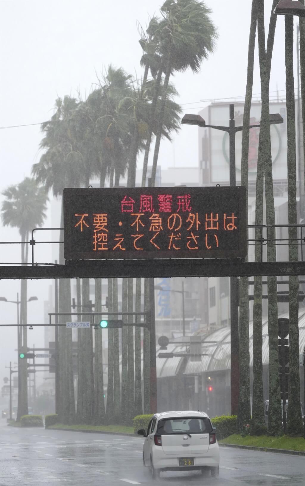
Central News Agency (Tokyo, June 2) - Typhoon Rose continues to move north, approaching southern Kyushu tonight and expected to move northeast along Japan's Pacific coast tomorrow, before nearing the Kanto region and the Izu Islands. Due to the typhoon and warm, moist air, a wide area from Kyushu, Shikoku, Kinki, and Tokai to the Kanto region will experience heavy rain. Miyazaki Prefecture issued today the first 'Level 4 Flood Danger Warning' since the launch of the new disaster prevention meteorological information system. According to reports from NHK and the private Japanese weather company Weather Map, the Japan Meteorological Agency reported that as of 7:00 PM (6:00 PM Taipei time), Typhoon Rose was located about 50 kilometers east of Nichinan City, Miyazaki Prefecture, moving northeast at 40 kilometers per hour. Influenced by the typhoon's outer circulation, heavy rain has fallen in the Kyushu and Shikoku regions. As of 6:00 PM, the 24-hour cumulative rainfall north of Nobeoka City, Miyazaki Prefecture, reached 309.5 millimeters, and 36 millimeters of intense rain per hour was observed in Kubokawa, Shimanto Town, Kochi Prefecture. River water levels continue to rise. The Hiroto River and Sakatani River in the Hiroto River system in Miyazaki Prefecture reached flood danger levels this afternoon, prompting the Meteorological Agency to issue successive 'Level 4 Flood Danger Warnings.' This warning is a new alert information added after the major reform of Japan's disaster prevention meteorological information system, and this is the first time it has been issued nationwide, indicating that residents in dangerous areas should evacuate immediately. Although the typhoon will move north along the Pacific coast, developed rain clouds are mainly distributed on the north and east sides of the typhoon, so heavy rain is likely even in areas far from the typhoon center. Cumulative rainfall is expected to increase further along the Pacific coast from western Japan, eastern Japan to the Tohoku region, especially in mountainous areas facing south and southeast. The Meteorological Agency issued a 'Half-day Forecast for Linear Rainbands' this afternoon, pointing out that linear rainbands may form in southern Kyushu from the evening, and in Shikoku, Kinki, and Tokai regions from the night to tomorrow morning, sharply increasing the risk of heavy rain disasters. Areas where linear rainbands are expected include Miyazaki, Kochi, Tokushima, Wakayama, Nara, Mie, Aichi, and Shizuoka prefectures. By tomorrow evening, the cumulative rainfall is expected to be highest in the Tokai region, reaching 350 millimeters; 300 millimeters in Kinki and Kanto-Koshin regions; 250 millimeters in Shikoku; 100 millimeters in Tohoku and northern Kyushu; and 80 millimeters in southern Kyushu.
FACT BOX
- Source: CNA (Central News Agency)
- Category: weather
- Organizations: NHK / Weather Map