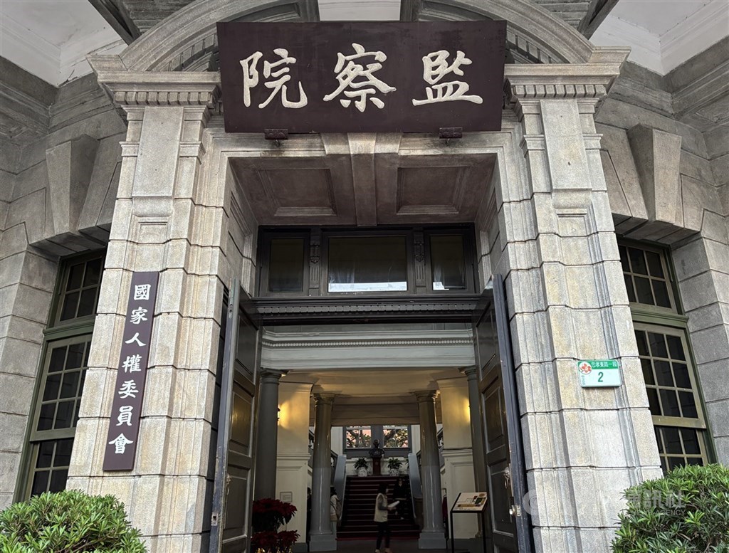
(Central News Agency reporter Kao Hua-chien, Taipei, June 24) The Control Yuan stated today that errors in the land readjustment maps and registers related to Zhubei, Hsinchu County, have led to land administration agencies blindly allocating and perfunctorily correcting them for many years, repeatedly transferring the risk of error to the public. This has resulted in a wall boundary dispute that has caused years of public grievance and disputes. Therefore, the Control Yuan has corrected the Hsinchu County Government and requested the Ministry of the Interior to actively supervise and implement map and register verification.
Control Yuan members Wang Yu-ling and Shih Chin-fang stated in a press release today that the disputed land in this case (Lot No. 556 and other parcels in the Houmian Xiaoduan, Maoerhding Section, Zhubei City) originated from land that the Hsinchu County Government organized and readjusted as farmland in 1969. The Hsinchu County Government sold it to landowners through a "public auction of surplus land and scattered consolidated land in the farmland readjustment area."
The Control Yuan members said that upon investigation, serious errors were found in the relevant maps and registers drawn after the land readjustment. For example, the registered area of Lot No. 556 after land readjustment was 1542 square meters, but the actual area on the cadastral map was 1649 square meters, with a difference of 107 square meters. This difference significantly exceeded the legally permissible tolerance. The land administration agency was aware of this major flaw but perfunctorily and blindly failed to correct it in a timely manner during the subdivision and resurveying of adjacent land in 1984, 1986, and 1992. This led to the continuous accumulation and delay of incorrect cadastral information, constituting a major dereliction of duty.
The Control Yuan members pointed out that as early as 1980, when the Hsinchu County Government processed the subdivision of Lot No. 556-1, it discovered a shortage of 79 square meters (an error of -6%). However, at that time, only the area of that parcel was corrected, and no review was conducted to check for discrepancies between the map, land, and register of Lot No. 556 and its adjacent land, nor was a timely investigation and clarification carried out. It was not until 2023, when the owners of Lots No. 556-3 and 556-5 applied to increase their area, that the reason for the increase in area was not examined to see if it involved incorrect boundaries of adjacent land.
The Control Yuan members said that this kind of partial correction that defers errors has further led to the discrepancy between the "wall" that the public has long agreed upon and the current cadastral boundary line, thereby causing damage to the rights and interests of the complainants and disputes over the boundaries of surrounding land that have not been resolved for many years.
The Control Yuan members emphasized that the land owned by the complainant was purchased from the county government, and maintaining the accuracy of cadastral and registered areas is the statutory duty of the competent authority. When faced with public complaints, the Hsinchu County Government's failure to investigate the root cause of the errors, which stemmed from government administrative actions, has led to private disputes among landowners. If the property rights and interests of relevant stakeholders are damaged, the Hsinchu County Government should also bear the responsibility for compensation. (Editor: Lin Ke-lun) 1150624
Stand with the facts, and your every contribution is a force to protect press freedom.
Download the CNA "One-Stop News" APP for real-time updates.
The text, images, and videos on this website may not be reproduced, broadcast, publicly transmitted, or used without authorization.
FACT BOX
- Source: CNA (Central News Agency)
- Category: 行政糾正