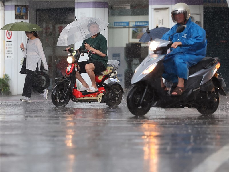
(Central News Agency reporter Chang Hsiung-feng, Taipei, July 13) Tomorrow marks the second day of Taiwan's Subject Competency Test. The Central Weather Bureau reports that this week, the weather will primarily be influenced by moisture from the south, leading to scattered brief showers or thunderstorms in southern Taiwan. On the 14th, isolated heavy rains are expected in central to northern regions and mountainous areas in the afternoon, with continued alerts for torrential rain in mountainous areas of central and northern Taiwan.
Cheng Chieh-jen, a forecaster at the Central Weather Bureau, told the Central News Agency that tomorrow's weather will resemble today's, with a southerly flow bringing moist air northward. Southern and southeastern regions will experience scattered brief showers or thunderstorms. In the afternoon, isolated thunderstorms are likely across the island, particularly in central to northern areas and mountainous regions, where localized heavy rains may occur. Mountainous areas in central and northern Taiwan should remain alert for short-duration torrential rains.
Cheng noted that from July 15 to 18, the wind flow will shift to southwesterly, then back to southerly on the 19th and 20th, with continued moisture inflow. Southern Taiwan will remain prone to scattered brief showers or thunderstorms, while isolated showers may occur in central Taiwan from early morning to late morning. From July 15 to 20, afternoon thunderstorms with possible heavy rains will persist in mountainous areas of western Taiwan and northern regions.
Regarding temperatures, Cheng stated that before rainfall, conditions will remain muggy and hot, with daytime highs ranging from 31 to 35 degrees Celsius across the island. Areas near mountainous regions in central and southern Taiwan, the Huadong Valley, and the Greater Taipei Basin may experience localized temperatures exceeding 36 degrees. Particularly on July 15 and 16, foehn winds (known locally as 'burning winds') may occur in the Huadong Valley.
According to the Central Weather Bureau's typhoon update, Typhoon Haishen was located approximately 2,050 kilometers southeast of Eluanbi at 2 p.m. today, moving northwestward.
Cheng explained that Haishen intensified rapidly overnight into the early morning, prompting the Japan Meteorological Agency to classify it as a typhoon, allowing it to skip the tropical depression stage. However, as Haishen moves northward, it will traverse areas with low sea surface temperatures and unfavorable atmospheric conditions, hindering further development. It is expected to gradually weaken and dissipate without affecting Taiwan.
Another tropical system currently located in the South China Sea is forecast to move toward the southern China coast. Its development is relatively slow, with a low chance of becoming a typhoon, and it is not expected to impact Taiwan. (Edited by Huang Ming-hsi) 1150713
FACT BOX
- Source: CNA (Central News Agency)
- Category: Taiwan