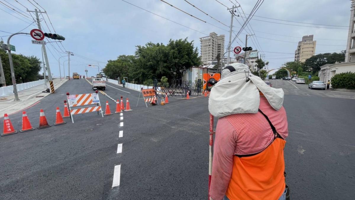
The implementation of urban plans from blueprint to actual land hinges on 'urban planning pegs.' The Kaohsiung City Urban Development Bureau states that it conducts approximately 30 urban planning peg location announcements annually, setting over 900 urban planning pegs on-site. Through precise surveying, the bureau confirms urban planning boundaries, providing a crucial basis not only for public infrastructure and land development but also for safeguarding citizens' land property rights.
Approximately 30 Peg Announcements Conducted Annually: New Steel Pin Method Balances Measurement Accuracy and Road Safety
The Bureau explains that after an urban plan is announced, professional surveyors must conduct on-site measurements based on the plan's content, accurately translating boundary lines from maps onto the actual land. Surveyors often work under the scorching sun and navigate through traffic to ensure each peg meets measurement standards, providing essential data for subsequent construction projects and cadastral subdivision.
Urban planning pegs primarily use a 'point-to-line, line-to-surface' approach to mark urban planning blocks and boundaries. These include 'centerline pegs' indicating road center positions, 'boundary pegs' defining land use zones and public facility areas, and 'virtual pegs' located via coordinates in areas with terrain constraints. All are indispensable foundations for advancing urban development.
To ensure public safety, the Bureau has continuously improved urban planning peg installation methods in recent years. Previously, cast iron covers were used to protect pegs, but prolonged vehicle pressure often caused loosening, increasing road safety risks. The Bureau has now fully adopted a new 'steel pin + washer' design, securing pegs with drilled steel pins. This method not only enhances durability and stability but also effectively reduces the risk of detachment, balancing measurement quality with road safety.
The Bureau reminds the public that after urban planning pegs are installed, they are legally announced for 30 days. Landowners or relevant right holders who have concerns about peg locations may submit written applications to the Bureau for re-surveying during the announcement period to protect their rights.
The Bureau emphasizes that although urban planning pegs may seem inconspicuous, they are vital foundations for land boundary determination, public construction advancement, and citizen property rights protection. The public can visit the Kaohsiung City Urban Development Bureau's website to access urban planning peg announcements and related maps, staying informed and safeguarding their land rights.
FACT BOX
- Source: PR Times
- Category: News