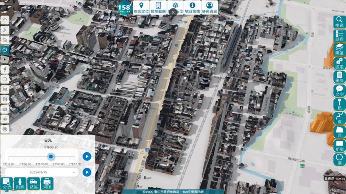
Taichung City Government's Land Administration Bureau has completed large-scale deployment in 2026 of Taiwan's first '3D Property Price Transparency' service. Through self-developed innovative software, the bureau has successfully integrated 3D building model vector files—generated from building preservation surveys—with the Land Valuation Division's property transaction database, creating a groundbreaking 3D transparent visualization platform for real estate price inquiries. As of the end of March 2027, approximately 100,000 units are available for 3D query, the largest number in Taiwan.
According to the Land Administration Bureau, this achievement stems from cross-departmental collaboration between the Survey Division and the Land Valuation Division, enabling seamless integration of 3D building models with cadastral maps, urban planning maps, and property transaction data. To address the limitations of traditional 2D maps in representing vertical structures such as high-rise apartments and condominiums, the bureau developed proprietary technologies including 'Six-Parameter Coordinate Transformation' and 'Multi-Dimensional Vector Interpolation.' These innovations allow building data, 3D coordinates, and big transaction datasets to be integrated into the 158PLUS Spatial Information Network, clearly visualizing each floor's price, location, and differences through 3D models.
Land Administration Commissioner Tseng Kuo-Chun stated that previously, citizens could only compare flat maps and tables to view transaction data, making it difficult to grasp critical information such as floor height and unit position. With the new 3D transparent model, building appearance, orientation, floor level, and relative unit positions are now instantly visible, significantly enhancing transaction transparency, convenience, and intuitiveness.
The bureau further explained that while the current '3D Property Price Transparency' service already provides price and location data, it will gradually expand 3D building information in alignment with the Ministry of the Interior's 'Towards a 3D Smart Nation—National Base Map Spatial Data Infrastructure Project.' The ultimate goal is to build a complete digital twin 3D city map, delivering clearer, more detailed, and comprehensive land information services to citizens, fully realizing comprehensive land data and transparent property pricing.
FACT BOX
- Source: PR Times
- Category: New Product