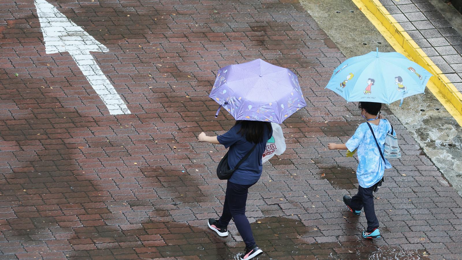
Moderate typhoon 'Dolphin' has officially entered the sea areas north and northeast of Taiwan. According to the Central Weather Administration, the period from tonight (8th) through tomorrow (9th) will be when Dolphin exerts its most significant influence on Taiwan, with northern and central mountainous regions needing to guard against torrential rains. Although Dolphin is gradually weakening and its wind field shrinking, it will maintain strength equivalent to a moderate or near-weak typhoon level as it passes over northern seas, with a possible lifting of marine typhoon warnings by the morning of Monday (10th).
Latest Path and Intensity Update for Typhoon Dolphin: Marine warning may be lifted Monday morning
As of the latest observation at 5 PM, Dolphin's center was located approximately 410 kilometers northeast of Taipei, moving northwest at 13 to 17 km/h. Maximum sustained winds near the center reached 35 m/s (about Category 12), with a 7-level gale radius extending 280 kilometers.
Senior forecaster Chu Mei-lin from the Central Weather Administration noted that after passing over northern sea areas tomorrow, Dolphin will continue weakening and rapidly downgrade to the lower end of a moderate typhoon or upper end of a weak typhoon upon landfall in China tomorrow evening. Due to the typhoon’s northerly track and shrinking wind field, the likelihood of issuing a land warning for Taiwan’s main island is nearly zero. For the Matsu region, while the storm’s outer bands may pass close offshore, the probability of a land warning has also significantly decreased.
[Dolphin typhoon movement chart provided by CWA]
Peak rain and wind tonight through tomorrow daytime! Northern mountain areas brace for torrential rain; Hualien and Taitung watch for foehn-induced heat
Affected by outer circulation brought by westerly to southwesterly flows, rainfall and wind across Taiwan will intensify significantly starting tonight:
Rainfall Hotspots: Tonight through tomorrow daytime marks the peak rainfall period. Northern regions and central mountainous areas including Hsinchu-Miaoli may experience localized extreme rainfall exceeding torrential levels. There is also a chance of isolated heavy rain in central and southern mountainous zones. From tomorrow evening onward, wind shifts to southeasterly, easing rain in the north, though central and southern areas should still monitor for localized heavier showers or thunderstorms.
Leeward High Temperatures: Hualien and Taitung, located on the leeward side, must remain alert for foehn-induced subsidence warming and high temperatures.
[Rainfall forecast image provided by CWA]
Coastal waves up to 6 meters! Keelung North Coast and Ruifang warn of gusts up to Beaufort Scale 12
Regarding waves, the CWA warns that sea heights around Taiwan have already exceeded 3 meters, with Keelung North Coast and Matsu waters potentially seeing 4 to 6-meter monster waves. The administration has issued high wave alerts for Matsu, Keelung North Coast, New Taipei’s Sanchi to Gongliao, and Hualien coastal areas. Long-period swells are expected to persist until Monday.
Wind-wise, Keelung North Coast and northern coastal areas will experience extremely strong winds from tonight through tomorrow. Past observations have recorded gusts of Beaufort 10–11 on the Keelung North Coast, with even stronger gusts reaching Beaufort 12 measured in Yilan Toucheng, New Taipei’s Ruifang, and Bitou Cape. The public is urged not to visit coastal areas during this time.
FACT BOX
- Source: PR Times
- Category: News